Skip to contents

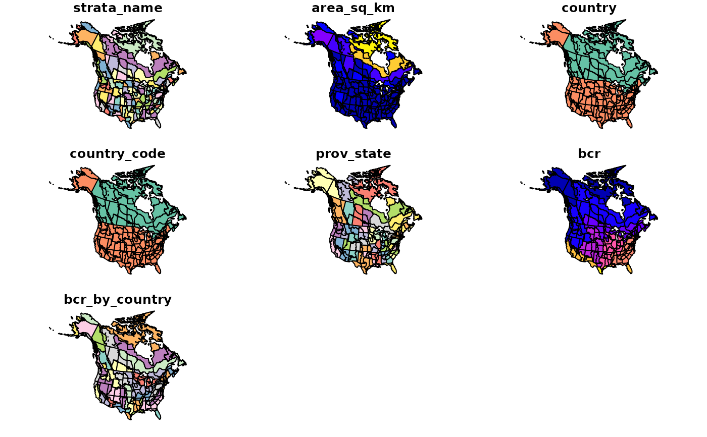
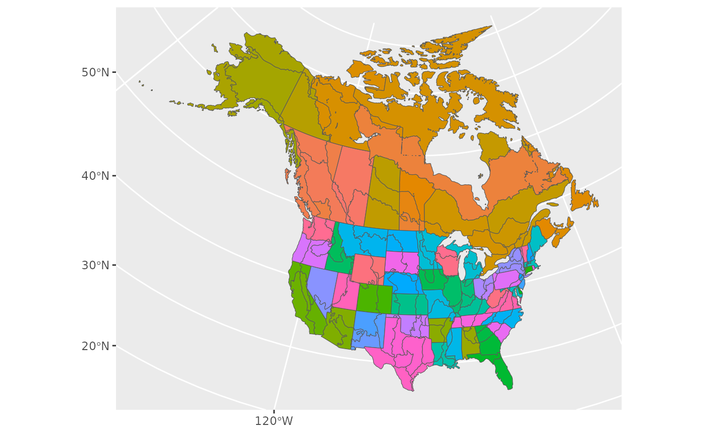
Load one of the included spatial data files (maps) as a simple features object (sf package)

Usage

load_map(stratify_by = NULL, type = "strata")

Arguments

stratify_by

Character. Stratification type. One of "prov_state", "bcr", "latlong", "bbs_cws", "bbs_usgs".

type

Character. "strata" or political map ("North America", "Canada" or "US"/"USA"/"United States of America").

Value

sf polygon object

See also

Other helper functions: assign_prov_state(), search_species()

Examples

# Toy example with Pacific Wren sample data
# First, stratify the sample data
strat_map <- load_map(stratify_by = "bbs_cws")

# simple plot of the map
plot(strat_map)


# or use ggplot2
library(ggplot2)
ggplot(data = strat_map) +
  geom_sf(aes(fill = strata_name), show.legend = FALSE)